Leicestershire Fire and Rescue Service HQ
Introduction
The photograph on this page of Leicestershire Fire and Rescue Service HQ by Mat Fascione as part of the Geograph project.
The Geograph project started in 2005 with the aim of publishing, organising and preserving representative images for every square kilometre of Great Britain, Ireland and the Isle of Man.

There are currently over 7.5m images from over 14,400 individuals and you can help contribute to the project by visiting https://www.geograph.org.uk
Leicestershire Fire and Rescue Service HQ
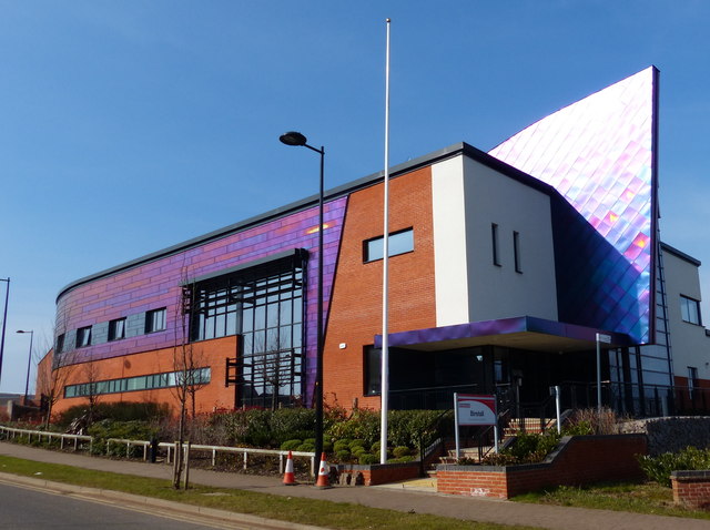
Image: © Mat Fascione Taken: 13 Mar 2016
Located on Geoff Monk Way in Birstall, it opened in April 2013.
Images are licensed for reuse under creativecommons.org/licenses/by-sa/2.0
Image Location
Latitude
52.68934
Longitude
-1.128113