Broad Gores, Clarborough
Introduction
The photograph on this page of Broad Gores, Clarborough by Paul Harrop as part of the Geograph project.
The Geograph project started in 2005 with the aim of publishing, organising and preserving representative images for every square kilometre of Great Britain, Ireland and the Isle of Man.

There are currently over 7.5m images from over 14,400 individuals and you can help contribute to the project by visiting https://www.geograph.org.uk
Broad Gores, Clarborough
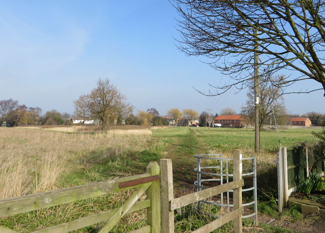
Image: © Paul Harrop Taken: 11 Mar 2016
Bassetlaw District Council-owned 3.44 hectare site. Since the 1970s and the building of housing on Broad Gores, Southview Drive and St John's Drive, the council has owned this land between the northern and southern ends of Broad Gores. It has gone through various stages of full and partial agricultural use, and is currently regarded as wasteland. The parish council has consulted on possible future uses for it such as housing, allotments, and other leisure purposes.
Images are licensed for reuse under creativecommons.org/licenses/by-sa/2.0
Image Location
Latitude
53.343863
Longitude
-0.909791