Rebuilt council houses, Ripon Road, Worcester
Introduction
The photograph on this page of Rebuilt council houses, Ripon Road, Worcester by Chris Allen as part of the Geograph project.
The Geograph project started in 2005 with the aim of publishing, organising and preserving representative images for every square kilometre of Great Britain, Ireland and the Isle of Man.

There are currently over 7.5m images from over 14,400 individuals and you can help contribute to the project by visiting https://www.geograph.org.uk
Rebuilt council houses, Ripon Road, Worcester
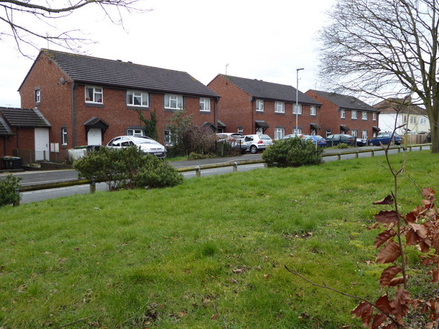
Image: © Chris Allen Taken: 5 Mar 2016
The white pair of semi-detached houses in the distance are the original design of house on the Ronkswood estate. These have been gradually replaced, one-by-one, by the design represented by the three pairs of red brick houses nearer the camera.
Images are licensed for reuse under creativecommons.org/licenses/by-sa/2.0
Image Location
Latitude
52.193715
Longitude
-2.189697