Ham Street: view south-eastwards towards the Common
Introduction
The photograph on this page of Ham Street: view south-eastwards towards the Common by Stefan Czapski as part of the Geograph project.
The Geograph project started in 2005 with the aim of publishing, organising and preserving representative images for every square kilometre of Great Britain, Ireland and the Isle of Man.

There are currently over 7.5m images from over 14,400 individuals and you can help contribute to the project by visiting https://www.geograph.org.uk
Ham Street: view south-eastwards towards the Common
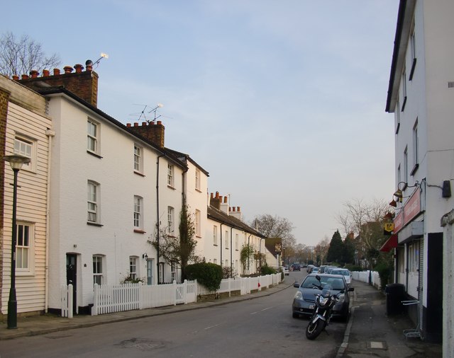
Image: © Stefan Czapski Taken: 11 Mar 2016
Looking towards the Ham Brewery Tap, and - beyond it - the Common. I can't say whether the narrow weather-boarded frontage on the left pre-dates its neighbours, but such buildings are a noticeable feature in 19th-century photos of the Ham and Richmond area. Few now remain, but one is shown in Image
Images are licensed for reuse under creativecommons.org/licenses/by-sa/2.0
Image Location
Latitude
51.436271
Longitude
-0.311544