Portherras
Introduction
The photograph on this page of Portherras by Tony Atkin as part of the Geograph project.
The Geograph project started in 2005 with the aim of publishing, organising and preserving representative images for every square kilometre of Great Britain, Ireland and the Isle of Man.

There are currently over 7.5m images from over 14,400 individuals and you can help contribute to the project by visiting https://www.geograph.org.uk
Portherras
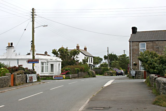
Image: © Tony Atkin Taken: 4 Jul 2007
This is the eastern end of the extended village collectively known as Pendeen. Brown tourist signs are pointing out the road down past the white house which leads to Pendeen Watch lighthouse.
Images are licensed for reuse under creativecommons.org/licenses/by-sa/2.0
Image Location
Latitude
50.152788
Longitude
-5.658053