Track to Whisgill's Farm (2)
Introduction
The photograph on this page of Track to Whisgill's Farm (2) by Richard Vince as part of the Geograph project.
The Geograph project started in 2005 with the aim of publishing, organising and preserving representative images for every square kilometre of Great Britain, Ireland and the Isle of Man.

There are currently over 7.5m images from over 14,400 individuals and you can help contribute to the project by visiting https://www.geograph.org.uk
Track to Whisgill's Farm (2)
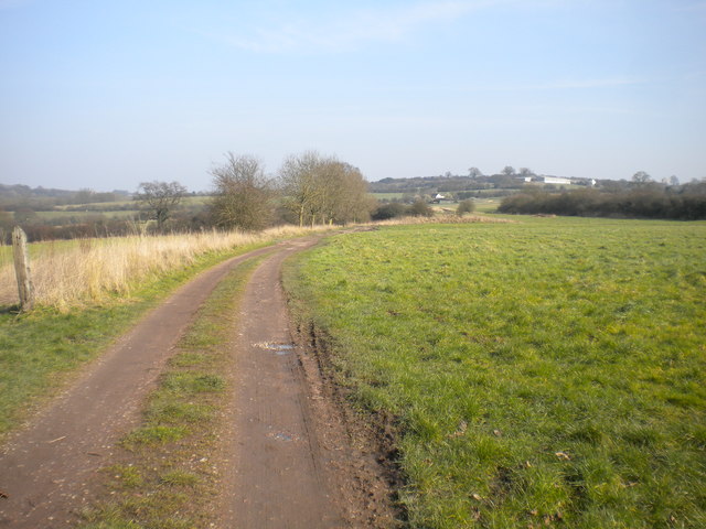
Image: © Richard Vince Taken: 11 Mar 2016
The track from the edge of Awsworth towards the farm. The track hosts a public bridleway at this point, though it is demoted to a public footpath further on.
Images are licensed for reuse under creativecommons.org/licenses/by-sa/2.0
Image Location
Latitude
52.991873
Longitude
-1.2804