Ridge and furrow field
Introduction
The photograph on this page of Ridge and furrow field by Ian Calderwood as part of the Geograph project.
The Geograph project started in 2005 with the aim of publishing, organising and preserving representative images for every square kilometre of Great Britain, Ireland and the Isle of Man.

There are currently over 7.5m images from over 14,400 individuals and you can help contribute to the project by visiting https://www.geograph.org.uk
Ridge and furrow field
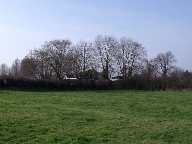
Image: © Ian Calderwood Taken: 11 Mar 2016
Many of the fields around Trentlock show evidence of mediaeval ploughing.
Images are licensed for reuse under creativecommons.org/licenses/by-sa/2.0
Image Location
Latitude
52.876943
Longitude
-1.273091