Five way roundabout
Introduction
The photograph on this page of Five way roundabout by Gary Rogers as part of the Geograph project.
The Geograph project started in 2005 with the aim of publishing, organising and preserving representative images for every square kilometre of Great Britain, Ireland and the Isle of Man.

There are currently over 7.5m images from over 14,400 individuals and you can help contribute to the project by visiting https://www.geograph.org.uk
Five way roundabout
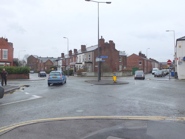
Image: © Gary Rogers Taken: 9 Mar 2016
The junction of The Avenue, Platt Street, Holden Road and Hope Street in the Lilford area of Leigh.
Images are licensed for reuse under creativecommons.org/licenses/by-sa/2.0
Image Location
Latitude
53.50026
Longitude
-2.516289