Marshchapel Fen to Grainthorpe Fen: aerial 2009
Introduction
The photograph on this page of Marshchapel Fen to Grainthorpe Fen: aerial 2009 by Chris as part of the Geograph project.
The Geograph project started in 2005 with the aim of publishing, organising and preserving representative images for every square kilometre of Great Britain, Ireland and the Isle of Man.

There are currently over 7.5m images from over 14,400 individuals and you can help contribute to the project by visiting https://www.geograph.org.uk
Marshchapel Fen to Grainthorpe Fen: aerial 2009
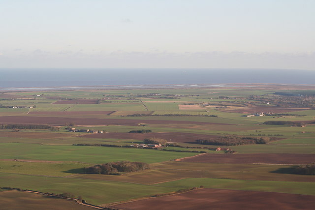
Image: © Chris Taken: 7 Nov 2009
Sea bank House centre, Sea Farm left.
Images are licensed for reuse under creativecommons.org/licenses/by-sa/2.0
Image Location
Latitude
53.471092
Longitude
0.082891