Site of old fishponds
Introduction
The photograph on this page of Site of old fishponds by Chris Morgan as part of the Geograph project.
The Geograph project started in 2005 with the aim of publishing, organising and preserving representative images for every square kilometre of Great Britain, Ireland and the Isle of Man.

There are currently over 7.5m images from over 14,400 individuals and you can help contribute to the project by visiting https://www.geograph.org.uk
Site of old fishponds
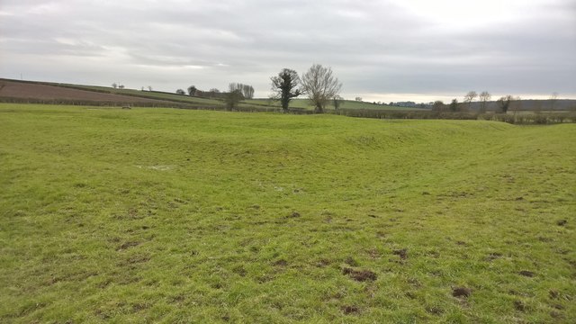
Image: © Chris Morgan Taken: 8 Mar 2016
Or so the map says. All that's visible now are a few outlines of ponds, or maybe they could outline something else?.
Images are licensed for reuse under creativecommons.org/licenses/by-sa/2.0
Image Location
Latitude
53.210667
Longitude
-0.922309