The Angel Centre
Introduction
The photograph on this page of The Angel Centre by Alan Murray-Rust as part of the Geograph project.
The Geograph project started in 2005 with the aim of publishing, organising and preserving representative images for every square kilometre of Great Britain, Ireland and the Isle of Man.

There are currently over 7.5m images from over 14,400 individuals and you can help contribute to the project by visiting https://www.geograph.org.uk
The Angel Centre
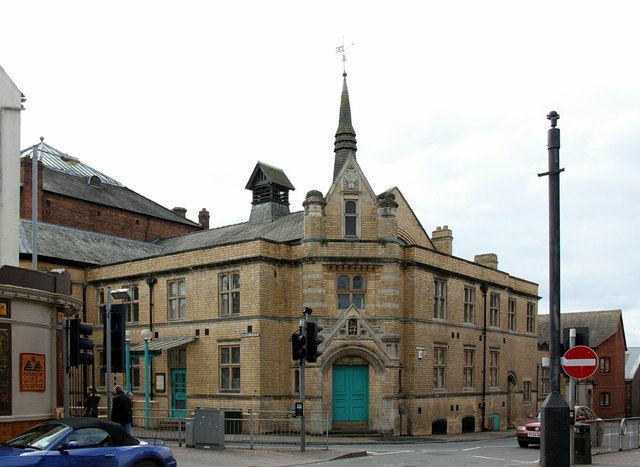
Image: © Alan Murray-Rust Taken: 5 Mar 2016
Built in 1887-8 by Aston Webb as the Sunday School for the adjacent Congregational Church, now a community centre and music venue. Listed Grade II. There is a bench mark http://www.geograph.org.uk/photo/4855660 just to the right of the main door.
Images are licensed for reuse under creativecommons.org/licenses/by-sa/2.0
Image Location
Latitude
52.193925
Longitude
-2.223492