Part of Marlborough Road, Exeter
Introduction
The photograph on this page of Part of Marlborough Road, Exeter by David Smith as part of the Geograph project.
The Geograph project started in 2005 with the aim of publishing, organising and preserving representative images for every square kilometre of Great Britain, Ireland and the Isle of Man.

There are currently over 7.5m images from over 14,400 individuals and you can help contribute to the project by visiting https://www.geograph.org.uk
Part of Marlborough Road, Exeter
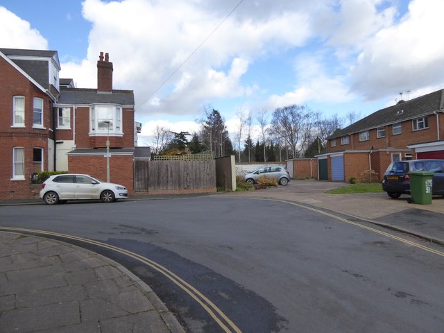
Image: © David Smith Taken: 4 Mar 2016
This corner of the road shows three different stages in the development of this road. On the left are early 20th century houses. On the right are post-war houses and garages. The wall beyond the garages, with trees beyond is a boundary wall from a property in Lyndhurst Road, built in the early 19th century
Images are licensed for reuse under creativecommons.org/licenses/by-sa/2.0
Image Location
Latitude
50.718908
Longitude
-3.517659