Brayton Park, Aspatria
Introduction
The photograph on this page of Brayton Park, Aspatria by Nigel Monckton as part of the Geograph project.
The Geograph project started in 2005 with the aim of publishing, organising and preserving representative images for every square kilometre of Great Britain, Ireland and the Isle of Man.

There are currently over 7.5m images from over 14,400 individuals and you can help contribute to the project by visiting https://www.geograph.org.uk
Brayton Park, Aspatria
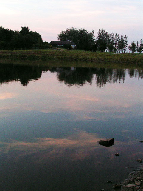
Image: © Nigel Monckton Taken: 3 Sep 2005
Brayton Park is a golf course. The club house and restaurant is visible in the background. It also features a lake which hosts regular fishing competitions.
Images are licensed for reuse under creativecommons.org/licenses/by-sa/2.0
Image Location


Leaflet Map data © OpenStreetMap
Latitude
54.770451
Longitude
-3.299451