The end of the road, Warden Point
Introduction
The photograph on this page of The end of the road, Warden Point by Robin Webster as part of the Geograph project.
The Geograph project started in 2005 with the aim of publishing, organising and preserving representative images for every square kilometre of Great Britain, Ireland and the Isle of Man.

There are currently over 7.5m images from over 14,400 individuals and you can help contribute to the project by visiting https://www.geograph.org.uk
The end of the road, Warden Point
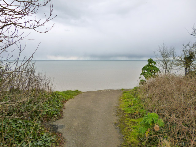
Image: © Robin Webster Taken: 6 Mar 2016
The London Clay cliffs here are eroding rather rapidly. This road continued to the church once, and beyond, but the church, built about 1595, was abandoned and partly dismantled in the 19th century. Its remains went over the cliff in about 1880. Its site is now about 250 m beyond this current end of the road, although if its remains slithered down the slope as more recent buildings have, they would be even further out to sea. The 1595 church replaced an earlier church whose site is suggested to be further along the former road about a mile out to sea now.
Images are licensed for reuse under creativecommons.org/licenses/by-sa/2.0
Image Location
Latitude
51.415501
Longitude
0.900684