Towards Raithhill
Introduction
The photograph on this page of Towards Raithhill by Mary and Angus Hogg as part of the Geograph project.
The Geograph project started in 2005 with the aim of publishing, organising and preserving representative images for every square kilometre of Great Britain, Ireland and the Isle of Man.

There are currently over 7.5m images from over 14,400 individuals and you can help contribute to the project by visiting https://www.geograph.org.uk
Towards Raithhill
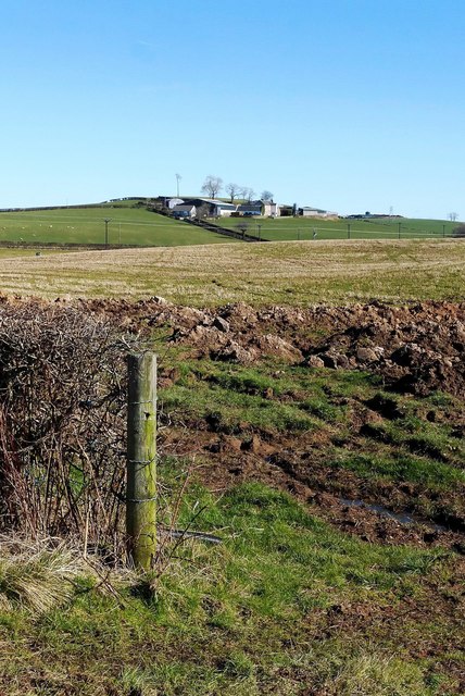
Image: © Mary and Angus Hogg Taken: 7 Mar 2016
The rolling land here was produced during the last glaciation when moving ice sheets deposited drumlins. Their heavy, sticky soils provide good grazing land. Raithhill Farm, sited on the edge of a drumlin, lies in the next square.
Images are licensed for reuse under creativecommons.org/licenses/by-sa/2.0
Image Location
Latitude
55.464529
Longitude
-4.505585