Field west of Whitegates
Introduction
The photograph on this page of Field west of Whitegates by Neil Owen as part of the Geograph project.
The Geograph project started in 2005 with the aim of publishing, organising and preserving representative images for every square kilometre of Great Britain, Ireland and the Isle of Man.

There are currently over 7.5m images from over 14,400 individuals and you can help contribute to the project by visiting https://www.geograph.org.uk
Field west of Whitegates
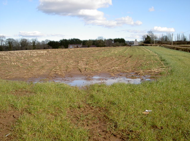
Image: © Neil Owen Taken: 7 Mar 2016
Bearing the marks of crop remnants and some recent wet weather. Bonhill Lane runs along in the background, with Whitegates house in the centre. The building is a fairly modern one, being built in the twentieth century.
Images are licensed for reuse under creativecommons.org/licenses/by-sa/2.0
Image Location
Latitude
51.341421
Longitude
-2.599189