Cadewell Lane, Shiphay
Introduction
The photograph on this page of Cadewell Lane, Shiphay by Derek Harper as part of the Geograph project.
The Geograph project started in 2005 with the aim of publishing, organising and preserving representative images for every square kilometre of Great Britain, Ireland and the Isle of Man.

There are currently over 7.5m images from over 14,400 individuals and you can help contribute to the project by visiting https://www.geograph.org.uk
Cadewell Lane, Shiphay
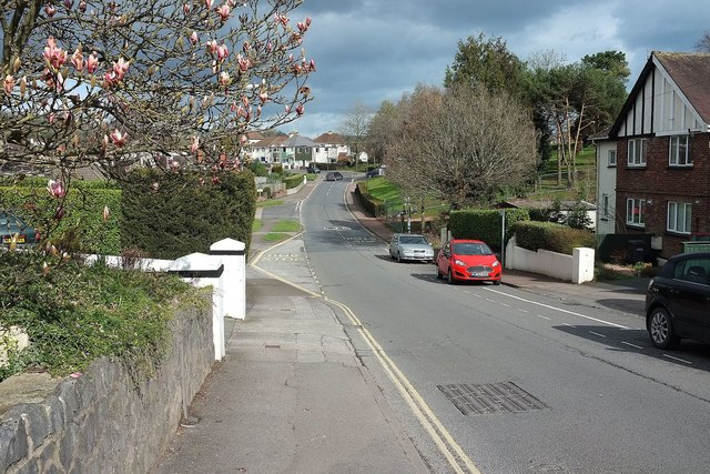
Image: © Derek Harper Taken: 3 Mar 2016
The road dips as it passes the junction with Cadewell Park Road. It the climbs to the hospital entrance road on the right; the trees there are in the hospital grounds.
Images are licensed for reuse under creativecommons.org/licenses/by-sa/2.0
Image Location


Leaflet Map data © OpenStreetMap
Latitude
50.482837
Longitude
-3.557866