7 Middle Street, Wing and attached barn
Introduction
The photograph on this page of 7 Middle Street, Wing and attached barn by Alan Murray-Rust as part of the Geograph project.
The Geograph project started in 2005 with the aim of publishing, organising and preserving representative images for every square kilometre of Great Britain, Ireland and the Isle of Man.

There are currently over 7.5m images from over 14,400 individuals and you can help contribute to the project by visiting https://www.geograph.org.uk
7 Middle Street, Wing and attached barn
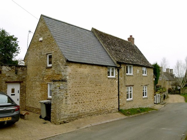
Image: © Alan Murray-Rust Taken: 29 Feb 2016
The house is the further part of the building and is dated 1771 http://www.geograph.org.uk/photo/4853149, coursed stone rubble with Collyweston stone slate roof, Listed Grade II. The barn extension is probably slightly later.
Images are licensed for reuse under creativecommons.org/licenses/by-sa/2.0
Image Location
Latitude
52.618265
Longitude
-0.684028