Ship Bank Buildings
Introduction
The photograph on this page of Ship Bank Buildings by Thomas Nugent as part of the Geograph project.
The Geograph project started in 2005 with the aim of publishing, organising and preserving representative images for every square kilometre of Great Britain, Ireland and the Isle of Man.

There are currently over 7.5m images from over 14,400 individuals and you can help contribute to the project by visiting https://www.geograph.org.uk
Ship Bank Buildings
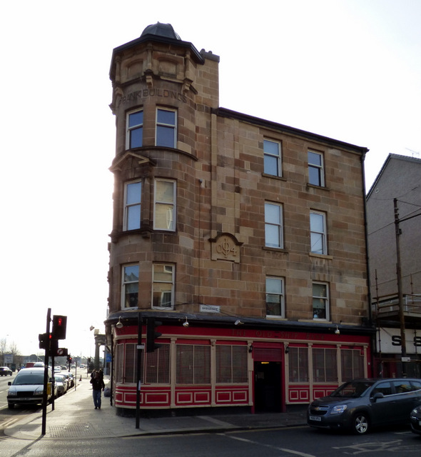
Image: © Thomas Nugent Taken: 28 Feb 2016
At the corner of Bridgegate (right) and Saltmarket. Dated 1904, home to the Ship Bank Bar on the ground floor.
Images are licensed for reuse under creativecommons.org/licenses/by-sa/2.0
Image Location
Latitude
55.854604
Longitude
-4.245904