Roundabout sign, Ballynure (March 2016)
Introduction
The photograph on this page of Roundabout sign, Ballynure (March 2016) by Albert Bridge as part of the Geograph project.
The Geograph project started in 2005 with the aim of publishing, organising and preserving representative images for every square kilometre of Great Britain, Ireland and the Isle of Man.

There are currently over 7.5m images from over 14,400 individuals and you can help contribute to the project by visiting https://www.geograph.org.uk
Roundabout sign, Ballynure (March 2016)
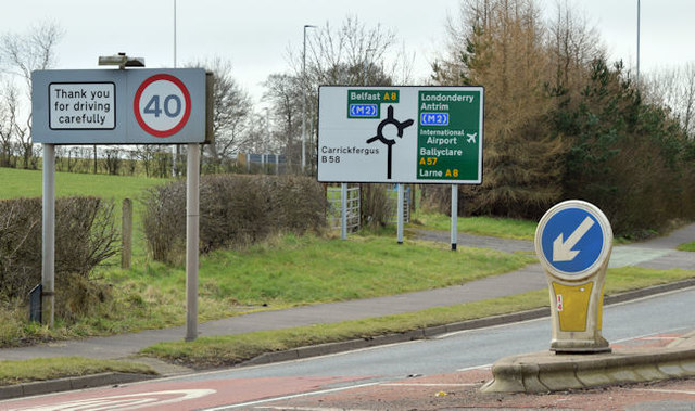
Image: © Albert Bridge Taken: 6 Mar 2016
The building of the Ballynure bypass, as part of the dualling of the Larne road, involved a complete reconstruction of the Templepatrick Road and a new roundabout to replace the existing one Image and Image at the junction with the Belfast Road.
Images are licensed for reuse under creativecommons.org/licenses/by-sa/2.0
Image Location
Latitude
54.768884
Longitude
-5.958927