30 mph signs, Ballyclare (March 2016)
Introduction
The photograph on this page of 30 mph signs, Ballyclare (March 2016) by Albert Bridge as part of the Geograph project.
The Geograph project started in 2005 with the aim of publishing, organising and preserving representative images for every square kilometre of Great Britain, Ireland and the Isle of Man.

There are currently over 7.5m images from over 14,400 individuals and you can help contribute to the project by visiting https://www.geograph.org.uk
30 mph signs, Ballyclare (March 2016)
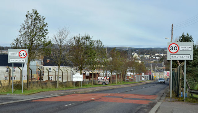
Image: © Albert Bridge Taken: 6 Mar 2016
The start of the 30 mph zone, entering Ballyclare from Belfast, along the Hillhead Road.
Images are licensed for reuse under creativecommons.org/licenses/by-sa/2.0
Image Location
Latitude
54.746923
Longitude
-5.994357