The Ballyclare bypass (March 2016)
Introduction
The photograph on this page of The Ballyclare bypass (March 2016) by Albert Bridge as part of the Geograph project.
The Geograph project started in 2005 with the aim of publishing, organising and preserving representative images for every square kilometre of Great Britain, Ireland and the Isle of Man.

There are currently over 7.5m images from over 14,400 individuals and you can help contribute to the project by visiting https://www.geograph.org.uk
The Ballyclare bypass (March 2016)
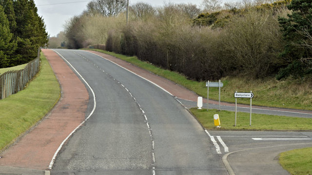
Image: © Albert Bridge Taken: 6 Mar 2016
The Ballyclare bypass, looking towards Larne, from this bridge Image (January 2007) on the Hillhead Road. The road (bottom right) allows access to and from the town centre – see Image
Images are licensed for reuse under creativecommons.org/licenses/by-sa/2.0
Image Location
Latitude
54.747526
Longitude
-5.992774