Dringo tyle / Climbing hill
Introduction
The photograph on this page of Dringo tyle / Climbing hill by Alan Richards as part of the Geograph project.
The Geograph project started in 2005 with the aim of publishing, organising and preserving representative images for every square kilometre of Great Britain, Ireland and the Isle of Man.

There are currently over 7.5m images from over 14,400 individuals and you can help contribute to the project by visiting https://www.geograph.org.uk
Dringo tyle / Climbing hill
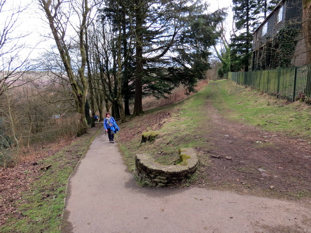
Image: © Alan Richards Taken: 5 Mar 2016
Cerddwr yn cyrraedd pen uchaf llwybr hir serth. A walker arriving at the top of a long steep hill.
Images are licensed for reuse under creativecommons.org/licenses/by-sa/2.0
Image Location
Latitude
51.640911
Longitude
-3.440005