Lost Square
Introduction
The photograph on this page of Lost Square by Anthony O'Neil as part of the Geograph project.
The Geograph project started in 2005 with the aim of publishing, organising and preserving representative images for every square kilometre of Great Britain, Ireland and the Isle of Man.

There are currently over 7.5m images from over 14,400 individuals and you can help contribute to the project by visiting https://www.geograph.org.uk
Lost Square
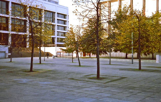
Image: © Anthony O'Neil Taken: Unknown
This area used to exist between the rear of John Ryland's Library and the Law Courts but was subsumed in the extensive building developments of the 'Spinning Fields' area, west of Deansgate.
Images are licensed for reuse under creativecommons.org/licenses/by-sa/2.0
Image Location
Latitude
53.480349
Longitude
-2.250545