Barn range at King's Farm
Introduction
The photograph on this page of Barn range at King's Farm by Alan Murray-Rust as part of the Geograph project.
The Geograph project started in 2005 with the aim of publishing, organising and preserving representative images for every square kilometre of Great Britain, Ireland and the Isle of Man.

There are currently over 7.5m images from over 14,400 individuals and you can help contribute to the project by visiting https://www.geograph.org.uk
Barn range at King's Farm
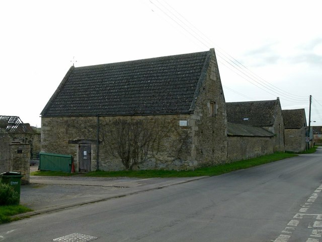
Image: © Alan Murray-Rust Taken: 29 Feb 2016
A series of outbuildings facing both Digby Drive and Moor Lane, built c.1800, coursed stone rubble with modern tile or slate roofs, Listed Grade II.
Images are licensed for reuse under creativecommons.org/licenses/by-sa/2.0
Image Location
Latitude
52.618484
Longitude
-0.616515