Path down The Naze
Introduction
The photograph on this page of Path down The Naze by Bill Boaden as part of the Geograph project.
The Geograph project started in 2005 with the aim of publishing, organising and preserving representative images for every square kilometre of Great Britain, Ireland and the Isle of Man.

There are currently over 7.5m images from over 14,400 individuals and you can help contribute to the project by visiting https://www.geograph.org.uk
Path down The Naze
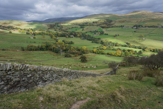
Image: © Bill Boaden Taken: 17 Oct 2015
Looking into the valley of Otter Brook, with the foothills of Kinder Scout behind.
Images are licensed for reuse under creativecommons.org/licenses/by-sa/2.0
Image Location
Latitude
53.348916
Longitude
-1.940024