M66
Introduction
The photograph on this page of M66 by Paul Anderson as part of the Geograph project.
The Geograph project started in 2005 with the aim of publishing, organising and preserving representative images for every square kilometre of Great Britain, Ireland and the Isle of Man.

There are currently over 7.5m images from over 14,400 individuals and you can help contribute to the project by visiting https://www.geograph.org.uk
M66
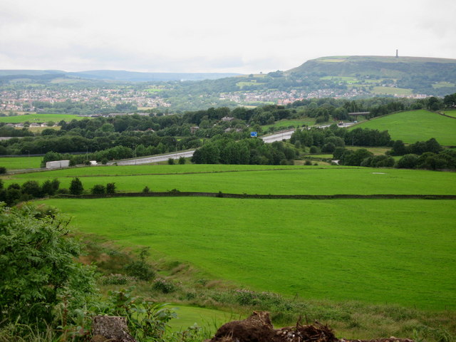
Image: © Paul Anderson Taken: 4 Jul 2007
The M66 cuts its way through the country side just south of Junction 1. Construction of this section of the M66 started in August 1975 and opened to traffic in May 1978. Source The Motorway Archive https://web.archive.org/web/20150124215637/http://www.ciht.org.uk/motorway/m66buryebp.htm The monument on the hill in the distance is Image
Images are licensed for reuse under creativecommons.org/licenses/by-sa/2.0
Image Location
Latitude
53.620765
Longitude
-2.282973