Vacant site, Lanark Way, Belfast (March 2016)
Introduction
The photograph on this page of Vacant site, Lanark Way, Belfast (March 2016) by Albert Bridge as part of the Geograph project.
The Geograph project started in 2005 with the aim of publishing, organising and preserving representative images for every square kilometre of Great Britain, Ireland and the Isle of Man.

There are currently over 7.5m images from over 14,400 individuals and you can help contribute to the project by visiting https://www.geograph.org.uk
Vacant site, Lanark Way, Belfast (March 2016)
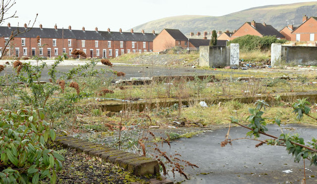
Image: © Albert Bridge Taken: 3 Mar 2016
A vacant site, at the corner of Lanark Way (out of picture to the left) and the Shankill Road, to which the following planning permission applies (13 September 2013) “Z/2012/1286/F Proposed social housing development comprising 9 No.2 person 1 bedroom apartments and associated site and access works Lands at the junction of Shankhill [sic] Road/Lanark Way and bound by Caledon Street Belfast”.
Images are licensed for reuse under creativecommons.org/licenses/by-sa/2.0
Image Location
Latitude
54.604546
Longitude
-5.958649