Battenberg Street, Belfast (March 2016)
Introduction
The photograph on this page of Battenberg Street, Belfast (March 2016) by Albert Bridge as part of the Geograph project.
The Geograph project started in 2005 with the aim of publishing, organising and preserving representative images for every square kilometre of Great Britain, Ireland and the Isle of Man.

There are currently over 7.5m images from over 14,400 individuals and you can help contribute to the project by visiting https://www.geograph.org.uk
Battenberg Street, Belfast (March 2016)
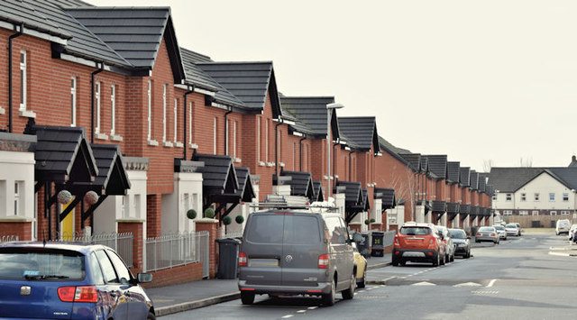
Image: © Albert Bridge Taken: 3 Mar 2016
A street, running from the Shankill Road (behind me) to Centurion Street, built before 1901. Originally known as Battenberg Street (no 2) to avoid confusion with Battenberg Street (no 1) off Bloomfield Avenue. The Shankill version has been rebuilt as shown. The Bloomfield one later became Batley Street.
Images are licensed for reuse under creativecommons.org/licenses/by-sa/2.0
Image Location
Latitude
54.604258
Longitude
-5.95758