Recreation ground at Gallows Inn
Introduction
The photograph on this page of Recreation ground at Gallows Inn by Mat Fascione as part of the Geograph project.
The Geograph project started in 2005 with the aim of publishing, organising and preserving representative images for every square kilometre of Great Britain, Ireland and the Isle of Man.

There are currently over 7.5m images from over 14,400 individuals and you can help contribute to the project by visiting https://www.geograph.org.uk
Recreation ground at Gallows Inn
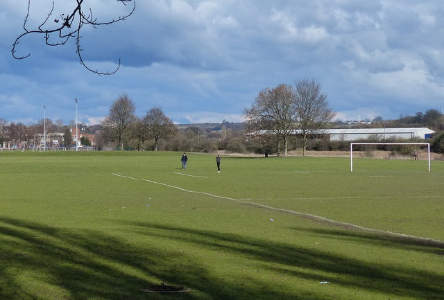
Image: © Mat Fascione Taken: 28 Feb 2016
These playing fields lie between the Erewash Canal and the River Erewash.
Images are licensed for reuse under creativecommons.org/licenses/by-sa/2.0
Image Location
Latitude
52.956082
Longitude
-1.2932