Bucklebury Common Nature Reserve
Introduction
The photograph on this page of Bucklebury Common Nature Reserve by Pam Brophy as part of the Geograph project.
The Geograph project started in 2005 with the aim of publishing, organising and preserving representative images for every square kilometre of Great Britain, Ireland and the Isle of Man.

There are currently over 7.5m images from over 14,400 individuals and you can help contribute to the project by visiting https://www.geograph.org.uk
Bucklebury Common Nature Reserve
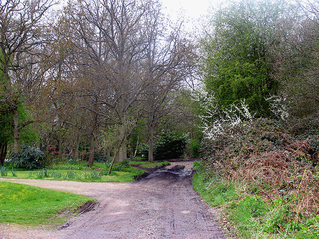
Image: © Pam Brophy Taken: 20 Apr 2005
This section of the nature reserve is where the byway intersects with the road at the row of houses. This view is of the footpath with the row of houses on the left. This view is situated in the lower section of the north east quadrant of the square.
Images are licensed for reuse under creativecommons.org/licenses/by-sa/2.0
Image Location


Leaflet Map data © OpenStreetMap
Latitude
51.412812
Longitude
-1.203363