Chelmer from the A130
Introduction
The photograph on this page of Chelmer from the A130 by Glyn Baker as part of the Geograph project.
The Geograph project started in 2005 with the aim of publishing, organising and preserving representative images for every square kilometre of Great Britain, Ireland and the Isle of Man.

There are currently over 7.5m images from over 14,400 individuals and you can help contribute to the project by visiting https://www.geograph.org.uk
Chelmer from the A130
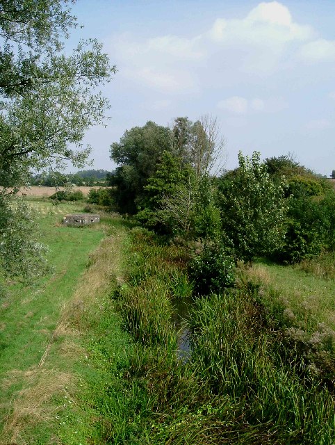
Image: © Glyn Baker Taken: 3 Sep 2005
This is a photo of the River Chelmer taken from the A130 Bridge looking upstream. The river is not much more than a brook at the moment due to the dry weather
Images are licensed for reuse under creativecommons.org/licenses/by-sa/2.0
Image Location


Leaflet Map data © OpenStreetMap
Latitude
51.812402
Longitude
0.458914