Ladymoor Road approaching Ladymoor near Bilston
Introduction
The photograph on this page of Ladymoor Road approaching Ladymoor near Bilston by Roger D Kidd as part of the Geograph project.
The Geograph project started in 2005 with the aim of publishing, organising and preserving representative images for every square kilometre of Great Britain, Ireland and the Isle of Man.

There are currently over 7.5m images from over 14,400 individuals and you can help contribute to the project by visiting https://www.geograph.org.uk
Ladymoor Road approaching Ladymoor near Bilston
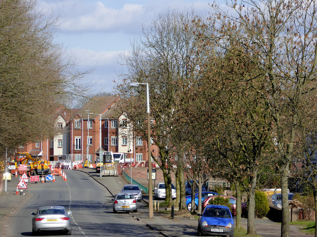
Image: © Roger D Kidd Taken: 25 Feb 2016
This telephoto assisted image from about four hundred metres shows the recent housing development at the junction with Highfields Road.
Images are licensed for reuse under creativecommons.org/licenses/by-sa/2.0
Image Location
Latitude
52.5547
Longitude
-2.085354