Middleborough Road
Introduction
The photograph on this page of Middleborough Road by E Gammie as part of the Geograph project.
The Geograph project started in 2005 with the aim of publishing, organising and preserving representative images for every square kilometre of Great Britain, Ireland and the Isle of Man.

There are currently over 7.5m images from over 14,400 individuals and you can help contribute to the project by visiting https://www.geograph.org.uk
Middleborough Road
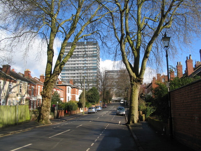
Image: © E Gammie Taken: 1 Mar 2016
Late 19th/early 20th century housing in Middleborough Road contrasts with the 1960s tower blocks of Naul's Mill House and Samuel Vale House at the far end of the road.
Images are licensed for reuse under creativecommons.org/licenses/by-sa/2.0
Image Location
Latitude
52.412961
Longitude
-1.51656