The Muskham Ferry
Introduction
The photograph on this page of The Muskham Ferry by Graham Hogg as part of the Geograph project.
The Geograph project started in 2005 with the aim of publishing, organising and preserving representative images for every square kilometre of Great Britain, Ireland and the Isle of Man.

There are currently over 7.5m images from over 14,400 individuals and you can help contribute to the project by visiting https://www.geograph.org.uk
The Muskham Ferry
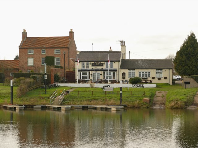
Image: © Graham Hogg Taken: 29 Feb 2016
Public house in North Muskham on the west bank of the River Trent. Formerly the Newcastle Arms but re-named for the ferry service that operated from here.
Images are licensed for reuse under creativecommons.org/licenses/by-sa/2.0
Image Location
Latitude
53.120323
Longitude
-0.808912