Houses at Roundswell as seen from the A39
Introduction
The photograph on this page of Houses at Roundswell as seen from the A39 by Roger A Smith as part of the Geograph project.
The Geograph project started in 2005 with the aim of publishing, organising and preserving representative images for every square kilometre of Great Britain, Ireland and the Isle of Man.

There are currently over 7.5m images from over 14,400 individuals and you can help contribute to the project by visiting https://www.geograph.org.uk
Houses at Roundswell as seen from the A39
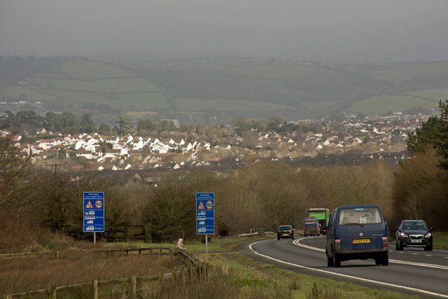
Image: © Roger A Smith Taken: 1 Mar 2016
The houses are those either side of the A3125 to the south of Bickington Road. The North Devon District Hospital is just visible to the left of the image.
Images are licensed for reuse under creativecommons.org/licenses/by-sa/2.0
Image Location
Latitude
51.069584
Longitude
-4.086631