Longdon Road in Tilehouse Green
Introduction
The photograph on this page of Longdon Road in Tilehouse Green by Richard Law as part of the Geograph project.
The Geograph project started in 2005 with the aim of publishing, organising and preserving representative images for every square kilometre of Great Britain, Ireland and the Isle of Man.

There are currently over 7.5m images from over 14,400 individuals and you can help contribute to the project by visiting https://www.geograph.org.uk
Longdon Road in Tilehouse Green
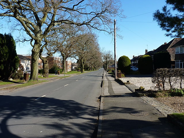
Image: © Richard Law Taken: 24 Feb 2016
This one-time quiet lane runs east-west, and connects Tilehouse Green Lane into the centre of Knowle. Earlier maps confirm that the housing developments throughout this area have all been built since the last war.
Images are licensed for reuse under creativecommons.org/licenses/by-sa/2.0
Image Location
Latitude
52.389859
Longitude
-1.749127