Western Lane, Buxworth
Introduction
The photograph on this page of Western Lane, Buxworth by Bill Boaden as part of the Geograph project.
The Geograph project started in 2005 with the aim of publishing, organising and preserving representative images for every square kilometre of Great Britain, Ireland and the Isle of Man.

There are currently over 7.5m images from over 14,400 individuals and you can help contribute to the project by visiting https://www.geograph.org.uk
Western Lane, Buxworth
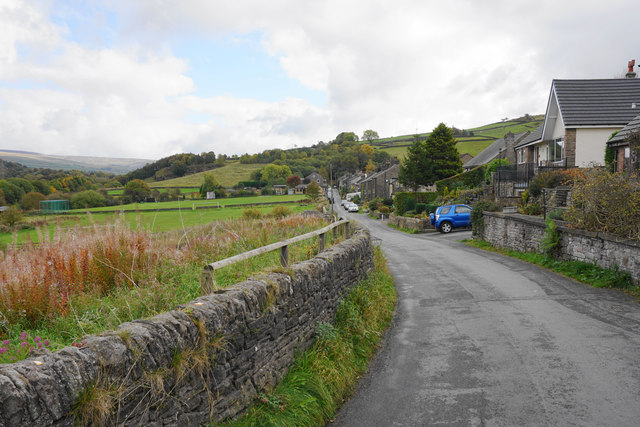
Image: © Bill Boaden Taken: 17 Oct 2015
The main road in the southern half of the village, now defined as south of the bypass.
Images are licensed for reuse under creativecommons.org/licenses/by-sa/2.0
Image Location
Latitude
53.333465
Longitude
-1.966474