Executive flats, Peterculter
Introduction
The photograph on this page of Executive flats, Peterculter by Bill Harrison as part of the Geograph project.
The Geograph project started in 2005 with the aim of publishing, organising and preserving representative images for every square kilometre of Great Britain, Ireland and the Isle of Man.

There are currently over 7.5m images from over 14,400 individuals and you can help contribute to the project by visiting https://www.geograph.org.uk
Executive flats, Peterculter
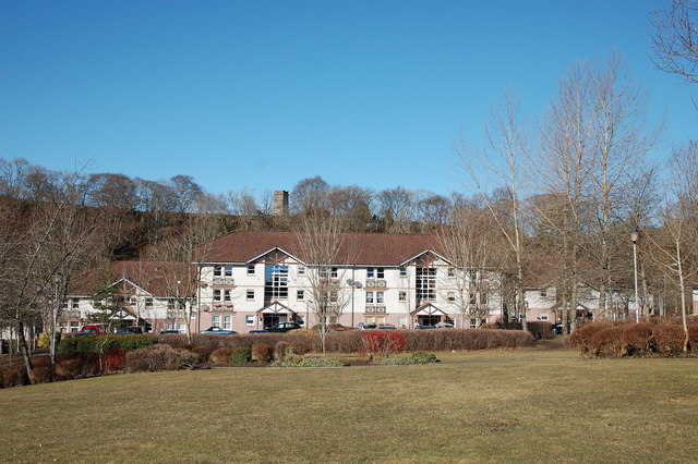
Image: © Bill Harrison Taken: 28 Feb 2016
The castle-like war memorial is on the hill in the background.
Images are licensed for reuse under creativecommons.org/licenses/by-sa/2.0
Image Location
Latitude
57.097159
Longitude
-2.274775