Testwood: the Salmon Leap
Introduction
The photograph on this page of Testwood: the Salmon Leap by Chris Downer as part of the Geograph project.
The Geograph project started in 2005 with the aim of publishing, organising and preserving representative images for every square kilometre of Great Britain, Ireland and the Isle of Man.

There are currently over 7.5m images from over 14,400 individuals and you can help contribute to the project by visiting https://www.geograph.org.uk
Testwood: the Salmon Leap
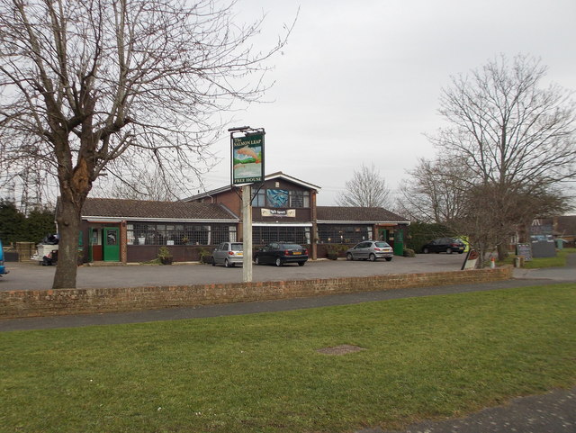
Image: © Chris Downer Taken: 29 Feb 2016
A neighbourhood pub literally on the edge of the suburbs of Totton, straddling the gridline between this square and the next one south.
Images are licensed for reuse under creativecommons.org/licenses/by-sa/2.0
Image Location
Latitude
50.924332
Longitude
-1.48761