Aberdeen Western Peripheral Route
Introduction
The photograph on this page of Aberdeen Western Peripheral Route by Anne Burgess as part of the Geograph project.
The Geograph project started in 2005 with the aim of publishing, organising and preserving representative images for every square kilometre of Great Britain, Ireland and the Isle of Man.

There are currently over 7.5m images from over 14,400 individuals and you can help contribute to the project by visiting https://www.geograph.org.uk
Aberdeen Western Peripheral Route
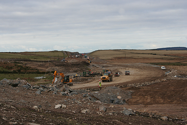
Image: © Anne Burgess Taken: 25 Feb 2016
The excavations here are the early stages of the construction of the Aberdeen Western Peripheral Route (AWPR).
Images are licensed for reuse under creativecommons.org/licenses/by-sa/2.0
Image Location
Latitude
57.054076
Longitude
-2.21