Reservoir and mast near Norton St Philip
Introduction
The photograph on this page of Reservoir and mast near Norton St Philip by Derek Harper as part of the Geograph project.
The Geograph project started in 2005 with the aim of publishing, organising and preserving representative images for every square kilometre of Great Britain, Ireland and the Isle of Man.

There are currently over 7.5m images from over 14,400 individuals and you can help contribute to the project by visiting https://www.geograph.org.uk
Reservoir and mast near Norton St Philip
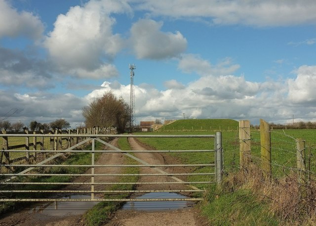
Image: © Derek Harper Taken: 23 Feb 2016
Seen from Farleigh Road. The reservoir is covered. The mast is used by O2 and what used to be Orange.
Images are licensed for reuse under creativecommons.org/licenses/by-sa/2.0
Image Location
Latitude
51.304565
Longitude
-2.322567