Cycle Racks, Brunswick Lawns
Introduction
The photograph on this page of Cycle Racks, Brunswick Lawns by Simon Carey as part of the Geograph project.
The Geograph project started in 2005 with the aim of publishing, organising and preserving representative images for every square kilometre of Great Britain, Ireland and the Isle of Man.

There are currently over 7.5m images from over 14,400 individuals and you can help contribute to the project by visiting https://www.geograph.org.uk
Cycle Racks, Brunswick Lawns
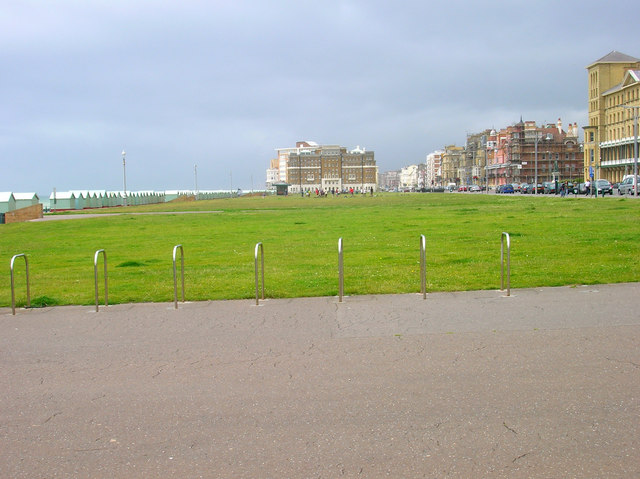
Image: © Simon Carey Taken: 1 Jul 2007
The lawns occupy the space between the A259 and Esplanade and stretch from the border of Brighton to Courtney Gate which is visible in the background.
Images are licensed for reuse under creativecommons.org/licenses/by-sa/2.0
Image Location


Leaflet Map data © OpenStreetMap
Latitude
50.823821
Longitude
-0.166192