Track to Manor Mill
Introduction
The photograph on this page of Track to Manor Mill by Nigel Mykura as part of the Geograph project.
The Geograph project started in 2005 with the aim of publishing, organising and preserving representative images for every square kilometre of Great Britain, Ireland and the Isle of Man.

There are currently over 7.5m images from over 14,400 individuals and you can help contribute to the project by visiting https://www.geograph.org.uk
Track to Manor Mill
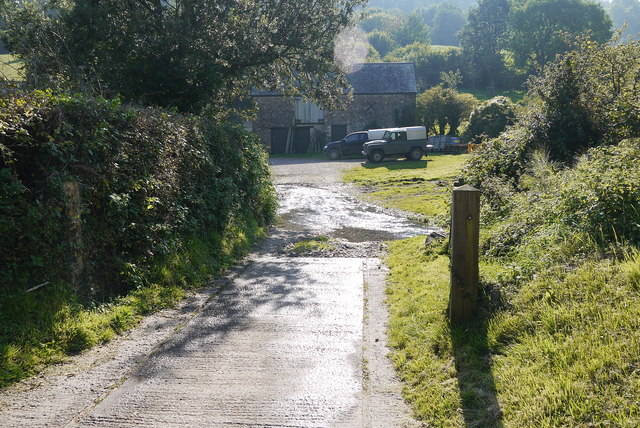
Image: © Nigel Mykura Taken: 2 Oct 2015
This is actually Mill Lane which turns through a right angle just as it approaches the mill where it fords the mill stream. The mill buildings can be seen in the background.
Images are licensed for reuse under creativecommons.org/licenses/by-sa/2.0
Image Location
Latitude
50.691431
Longitude
-3.13451