Bridge over the River Eitha, Ruabon
Introduction
The photograph on this page of Bridge over the River Eitha, Ruabon by Jaggery as part of the Geograph project.
The Geograph project started in 2005 with the aim of publishing, organising and preserving representative images for every square kilometre of Great Britain, Ireland and the Isle of Man.

There are currently over 7.5m images from over 14,400 individuals and you can help contribute to the project by visiting https://www.geograph.org.uk
Bridge over the River Eitha, Ruabon
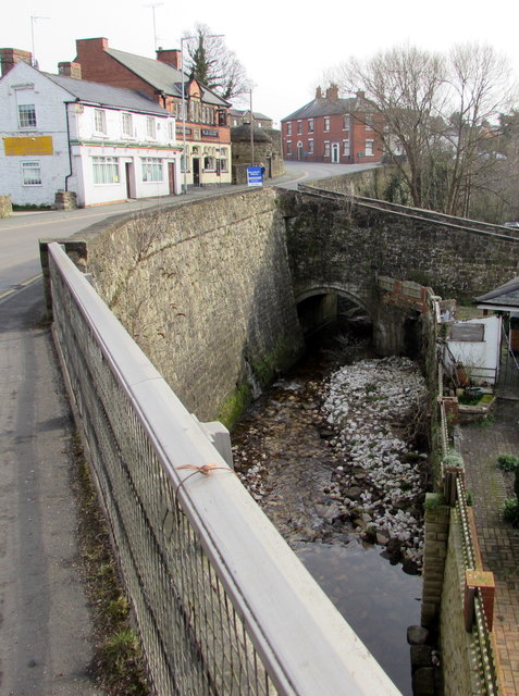
Image: © Jaggery Taken: 27 Feb 2016
The bridge connects Duke Street and Paddock Row with the B5605 Bridge Street on the left. The Eitha flows into the River Dee near Chirk.
Images are licensed for reuse under creativecommons.org/licenses/by-sa/2.0
Image Location


Leaflet Map data © OpenStreetMap
Latitude
52.986435
Longitude
-3.040738