View from the churchyard, Hooton Roberts
Introduction
The photograph on this page of View from the churchyard, Hooton Roberts by Jonathan Thacker as part of the Geograph project.
The Geograph project started in 2005 with the aim of publishing, organising and preserving representative images for every square kilometre of Great Britain, Ireland and the Isle of Man.

There are currently over 7.5m images from over 14,400 individuals and you can help contribute to the project by visiting https://www.geograph.org.uk
View from the churchyard, Hooton Roberts
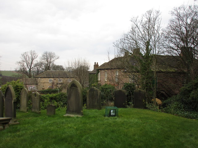
Image: © Jonathan Thacker Taken: 27 Feb 2016
The Earl of Strafford (public house) on the right http://www.britishlistedbuildings.co.uk/en-335522-the-earl-of-strafford-hooton-roberts-#.VtIJZtCWOTw and the Old Coach House on the left http://www.britishlistedbuildings.co.uk/en-335523-the-coach-house-approximately-20-metres-#.VtIJ8NCWOTw
Images are licensed for reuse under creativecommons.org/licenses/by-sa/2.0
Image Location
Latitude
53.467707
Longitude
-1.273133