Middle Stoke
Introduction
The photograph on this page of Middle Stoke by Derek Harper as part of the Geograph project.
The Geograph project started in 2005 with the aim of publishing, organising and preserving representative images for every square kilometre of Great Britain, Ireland and the Isle of Man.

There are currently over 7.5m images from over 14,400 individuals and you can help contribute to the project by visiting https://www.geograph.org.uk
Middle Stoke
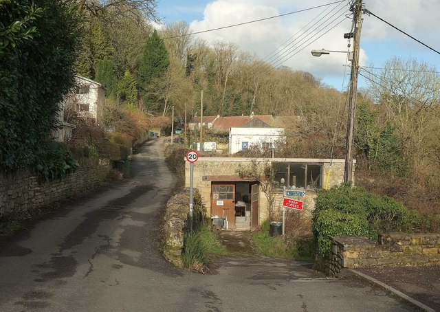
Image: © Derek Harper Taken: 23 Feb 2016
The road through the middle level of Limpley Stoke passes the top of bridleway LSTO 12.
Images are licensed for reuse under creativecommons.org/licenses/by-sa/2.0
Image Location
Latitude
51.345762
Longitude
-2.317114