Defending Dorset in 1940: the Maiden Newton - Poole Harbour Stop Line (94)
Introduction
The photograph on this page of Defending Dorset in 1940: the Maiden Newton - Poole Harbour Stop Line (94) by Mike Searle as part of the Geograph project.
The Geograph project started in 2005 with the aim of publishing, organising and preserving representative images for every square kilometre of Great Britain, Ireland and the Isle of Man.

There are currently over 7.5m images from over 14,400 individuals and you can help contribute to the project by visiting https://www.geograph.org.uk
Defending Dorset in 1940: the Maiden Newton - Poole Harbour Stop Line (94)
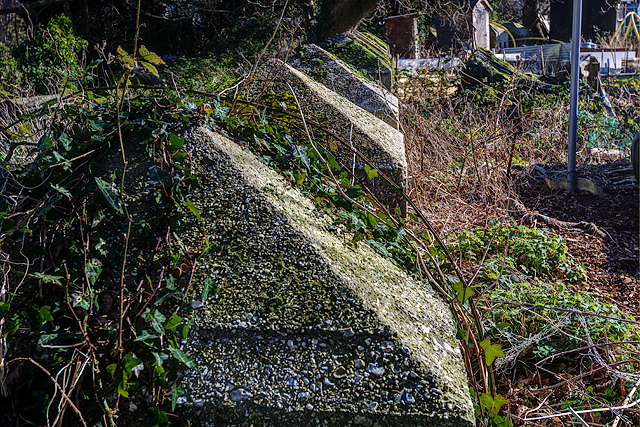
Image: © Mike Searle Taken: 18 Feb 2016
- Anti-tank Blocks: DoB ID: e24908 Poole - Tatnam Farm Allotments - Cubes. The line of anti-tank blocks extend from the boundary of the allotments beyond into the grounds of St Mary's RC Church, and once formed a continuous line from Poole Park to Creekmoor. Image
Images are licensed for reuse under creativecommons.org/licenses/by-sa/2.0
Image Location
Latitude
50.728787
Longitude
-1.977987