Old launching slipway, River Ellen, Maryport
Introduction
The photograph on this page of Old launching slipway, River Ellen, Maryport by Rick Felix as part of the Geograph project.
The Geograph project started in 2005 with the aim of publishing, organising and preserving representative images for every square kilometre of Great Britain, Ireland and the Isle of Man.

There are currently over 7.5m images from over 14,400 individuals and you can help contribute to the project by visiting https://www.geograph.org.uk
Old launching slipway, River Ellen, Maryport
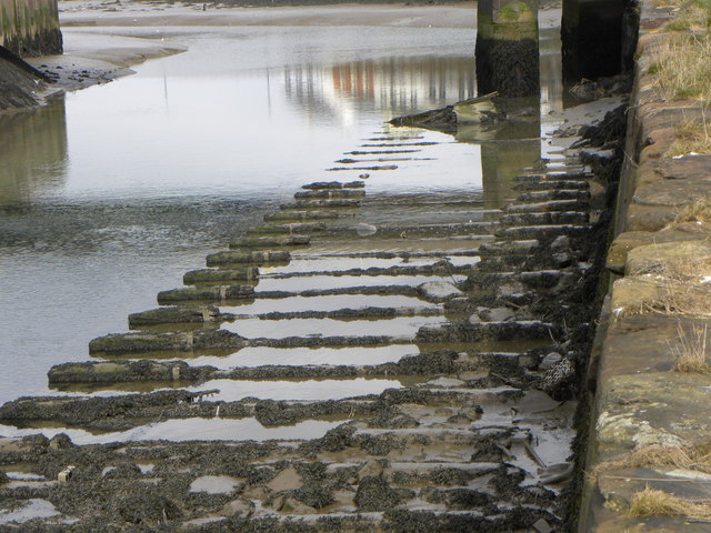
Image: © Rick Felix Taken: 31 Mar 2013
Part of a former ship-launch slipway on the River Ellen, where ships used to be launched broadside owing to the limited width of the river.
Images are licensed for reuse under creativecommons.org/licenses/by-sa/2.0
Image Location
Latitude
54.714106
Longitude
-3.501163