Trunk Road
Introduction
The photograph on this page of Trunk Road by Stephen McCulloch as part of the Geograph project.
The Geograph project started in 2005 with the aim of publishing, organising and preserving representative images for every square kilometre of Great Britain, Ireland and the Isle of Man.

There are currently over 7.5m images from over 14,400 individuals and you can help contribute to the project by visiting https://www.geograph.org.uk
Trunk Road
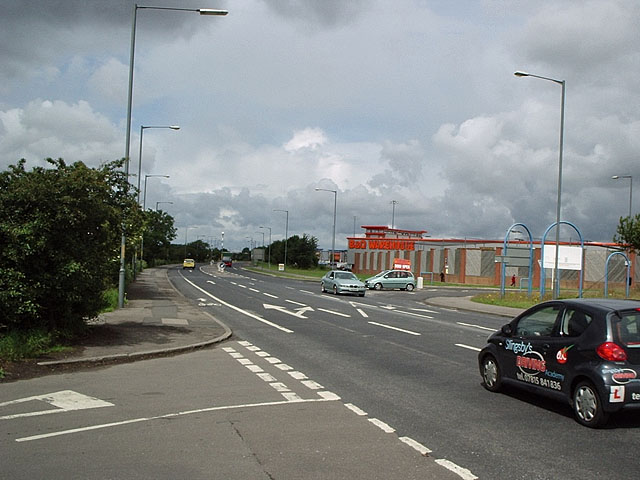
Image: © Stephen McCulloch Taken: 3 Jul 2007
Trunk Road looking west from where Skippers Lane crosses it. B&Q on Cleveland Retail Park is on the other side.
Images are licensed for reuse under creativecommons.org/licenses/by-sa/2.0
Image Location
Latitude
54.569092
Longitude
-1.177119